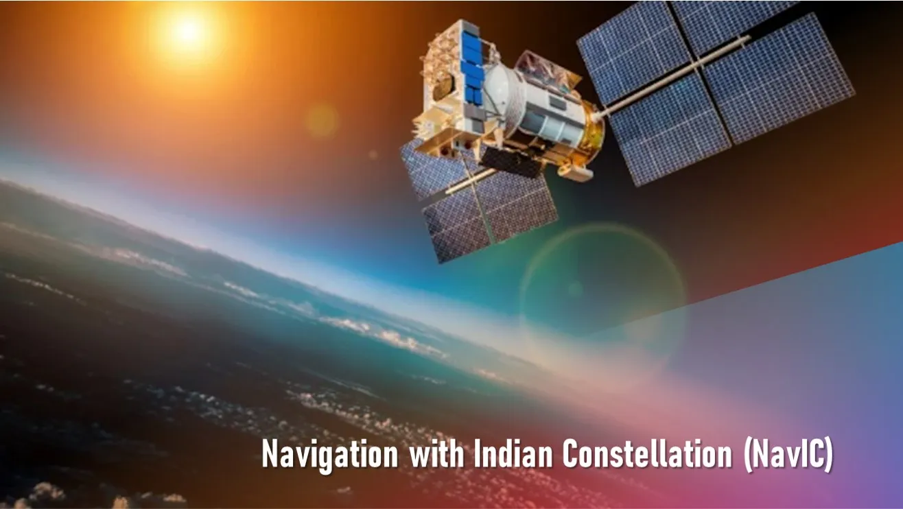
What is NavIC? To meet the positioning, navigation and timing requirements of the nation, ISRO has established a regional navigation satellite system called Navigation with Indian Constellation (NavIC).
NavIC was erstwhile known as Indian Regional Navigation Satellite System (IRNSS).
The main objective is to provide Reliable Position, Navigation and Timing services over India and its neighbourhood, and to provide fairly good accuracy to the user.
NavIC offers two services:
- Standard Position Service (SPS) for civilian users
- Restricted Service (RS) for strategic users
Organisation of the NavIC
The system has essentially two-part. The first part is the Space Segment, made up of seven navigation satellites. Then there is Ground Segment, which receives signals from these satellites and puts them to different applications.
In the space segment, there are three satellites in Geostationary orbit (GEO) and four satellites in Geosynchronous orbit (GSO) with inclination of 29° to the equatorial plane. All the satellites are visible at all times in the Indian region.
India finished the launching of all the seven navigation satellites by the year 2016. In the middle of 2016, the satellite system also became operational. It has started with providing restricted services for military and other strategic operations.
The ground network consists of a control centre, precise timing facility, range and integrity monitoring stations, two-way ranging stations, etc.
Ground Segment is responsible for the maintenance and operation of the IRNSS constellation. It provides the monitoring of the constellation status, computation of the orbital and clock parameters and navigation data uploading.
The system is intended to provide an absolute position accuracy of better than 10 meters throughout Indian landmass and better than 20 meters in the Indian Ocean as well as a region extending approximately 1,500 km around India.
ISRO, in May, 2023, launched a new NavIC satellite (NVS-01), that belongs to the second generation of the NavIC, to overcome some of the previous issues faced by NavIC.
- Issues faced by NavIC include atomic clock failure, satellite replacement, limited coverage, mobile incompatibility, security and encryption.
Why Does India Need its Own Navigation System?
- The requirement of such a navigation system is driven by the fact that access to foreign government-controlled global navigation satellite systems is not guaranteed in hostile situations.
- Furthermore, its own navigation system will allow India to have a greater accuracy in positioning services.
What are the Other Services Available from the System?
- Apart from navigation, the system helps in precise time keeping, disaster management, fleet management and mapping.
- The applications of NavIC include terrestrial, aerial and marine navigation, vehicle tracking, integration with mobile phones, geodetic data capture, terrestrial navigation aid for hikers and travellers and visual and voice navigation for drivers.
Also Read:
LCA Tejas – aim, origin, Technical Features, Advantages and Challenges


1 thought on “Navigation with Indian Constellation (NavIC)”