
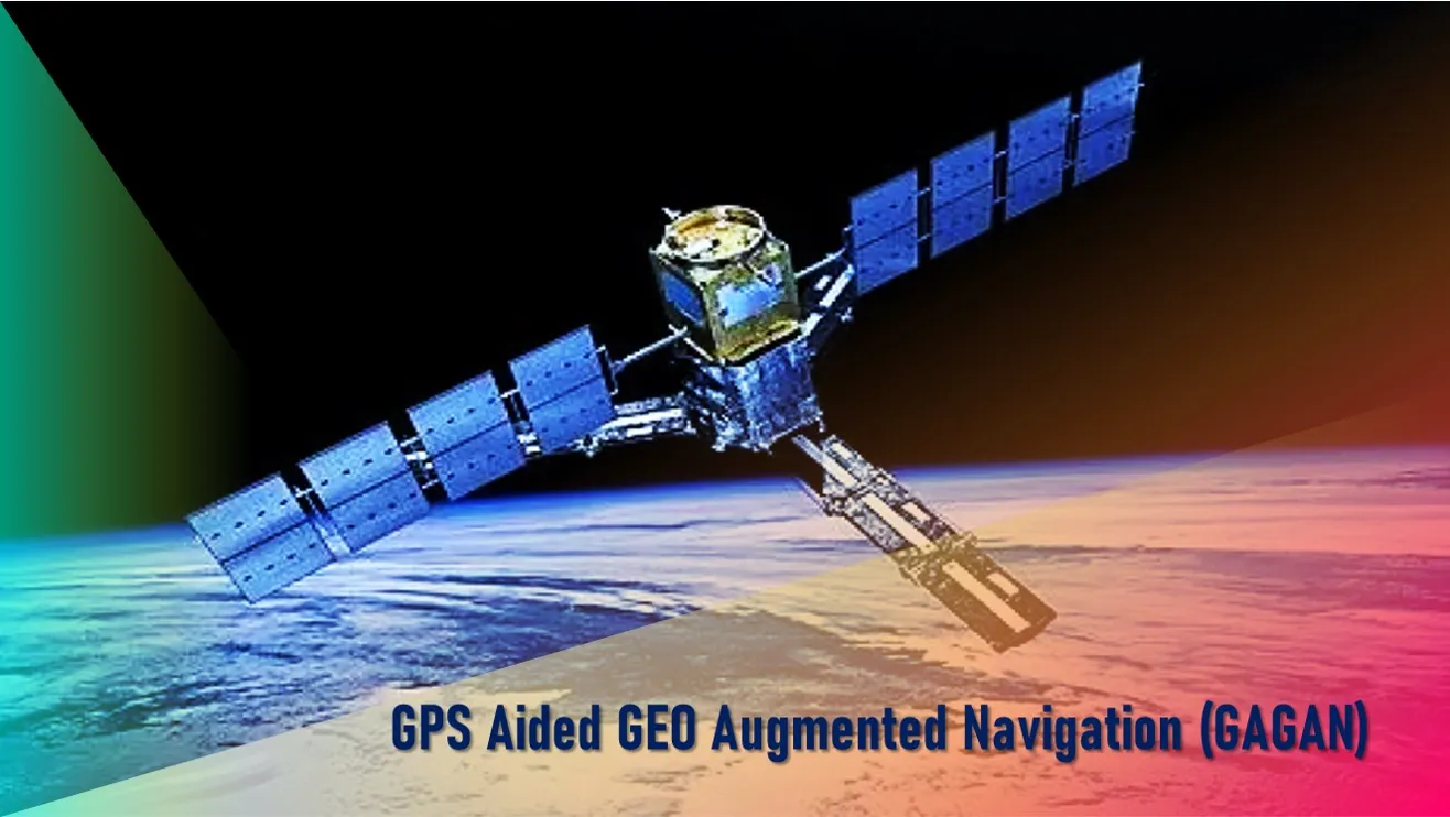
What is GPS Aided GEO Augmented Navigation (GAGAN) and how does it works? It is a Space Based Augmentation System (SBAS) jointly developed by ISRO and Airport Authority of India to provide the best possible navigational services over Indian FIR (Flight Information Region) with the capability of expanding to neighboring FIRs.
After launching the GAGAN on 13 July, 2015, India joined the select league comprising the United States, Europe Union (EU) and Japan which have similar systems.
GAGAN is a system of satellites and ground stations that provide GPS signal corrections. It corrects for GPS signal errors caused by Ionospheric disturbances, timing and satellite orbit errors and also it provides vital information regarding the health of each satellite.
Working of GAGAN
How does GAGAB works? GAGAN consists of a set of ground reference stations positioned across various locations in India called Indian Reference Station (INRES), which gathers GPS satellite data.
A master station, Indian Master Control Centre (INMCC) collects data from reference stations and creates GPS correction messages.
The corrected differential messages are uplinked via Indian Uplink Station (INLUS) and then broadcasted on a signal from three geostationary satellites (GSAT-8, GSAT-10 and GSAT-15).
The information on this signal is compatible with basic GPS signal structure, which means any SBAS enabled GPS receiver can read this signal.
Coverage Area of GAGAN
Two GEOs simultaneously transmit the GAGAN signal in space. GAGAN GEO footprint expands from Africa to Australia and GAGAN system has capability to cater 45 reference stations for expansion to neighbouring countries.
GAGAN provides a civil aeronautical navigation signal consistent with International Civil Aviation Organization (ICAO) Standards and Recommended Practices (SARPs) as established by the Global Navigation Satellite System (GNSS) Panel.
The system is interoperable with other international SBAS systems such as the United States Wide Area Augmentation System (WAAS), the European Geostationary Navigation Overlay Service (EGNOS), and the Japanese MTSAT Satellite Augmentation System (MSAS), and provides seamless air navigation across regional boundaries.
GAGAN Applications
The GAGAN system is being used for effective management of wildlife resources and monitoring of forests.
It can provide navigational support to the Indian railway for signalling when a train approaches a no man crossing and also for alignment of railway tracks.
The Road Asset Management System (RAMS) is likely to be developed for all National Highways in the country and a modern management system that will use the GAGAN system.
GAGAN signals can also be used to manage traffic in real time to avoid traffic jams.
Other areas include scientific research for atmospheric studies, natural resource and land management, location based services, mobile and tourism.